UAV LiDAR technologies in coastal dynamics: theory and practice (III)
Recording date: Jun 6, 2019
Viewed: 0
time
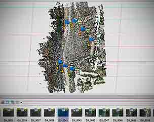
The course focuses on the cartographic technologies that allow the evaluation and monitoring of
coastal environment: transport processes on the coast, sedimentary balance and coastal
geomorphology, evolution of coastal systems and analysis of natural and anthropogenic risks. The
UAV platforms that can be used for this end are presented and described, as well as the available
sensors, either LiDAR, optical or multispectral cameras. The fundamentals of photogrammetry and
LiDAR technologies are described following a demonstrative approach.
-
: Ms. Julia Armesto GonzálezDepartment of Natural Resources and Environment Engineering, University of Vigo
-
: Mr. José Luis LermaDep. of Cartographic Engineering, Geodesy and Photoframmetry, Polytechnic university of Valencia
-
: Mr. José Alberto GonçalvesProfessor al the University of Porto
-
: Mr. Alejandro Ávila BúaDrone Specialist, Aeromedia